'BIGGER THAN RUSSIA?': Trump Redraws World Map; Canada, Greenland & Mexico Inside US Superstate
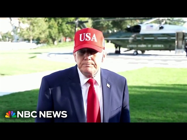
Donald Trump has shared a map depicting Canada, Mexico and Greenland as parts of an expanded United States. American colouring also appears across Cuba and sections of Central America, although Trump provided no explanation for the image. If Canada, Mexico and Greenland were incorporated, the imagined United States would cover nearly 24 million square kilometres—almost seven million more than Russia. The image has no legal authority and may be intended as online provocation. But it follows Trump’s repeated annexation rhetoric, territorial demands and geographical rebranding campaign involving Canada, Greenland, the Gulf of Mexico and Lake Ontario.
#DonaldTrump #Canada #Mexico #Greenland #UnitedStates #Russia #TrumpMap #Geopolitics #NorthAmerica #TruthSocial
Times Of India (TOI) Is The Largest Selling English Daily In The World.
Times Of India Videos Bring You Global News, Views And Sharp Analysis. We Track India's Global Rise, Her Increasing Engagement With The World, The Changing Geopolitical Landscape Amid Conflicts And Wars And The Emerging World Order.
INTERNATIONAL NEWS | GLOBAL CONFLICTS | MIDDLE EAST WAR | CHANGING WORLD ORDER
#TOILive |
#TOIVideos
Subscribe to the Times Of India YT channel and press the bell icon to get notified when we go live.
Join Millions Reading TOI; Download Our App At
http://toi.in/app-yt
Visit our website
https://www.timesofindia.com/
Follow us on X/ @timesofindia
Facebook:
https://www.facebook.com/TimesofIndia
Instagram:
https://www.instagram.com/timesofindia/
Follow the TOI WhatsApp channel:
https://bit.ly/3RYl0J9
For daily news & updates and exclusive stories, follow the Times of India














































































































































































Comments (0)