Met Eireann warns of further flooding today as Status Yellow warning issued for Dublin
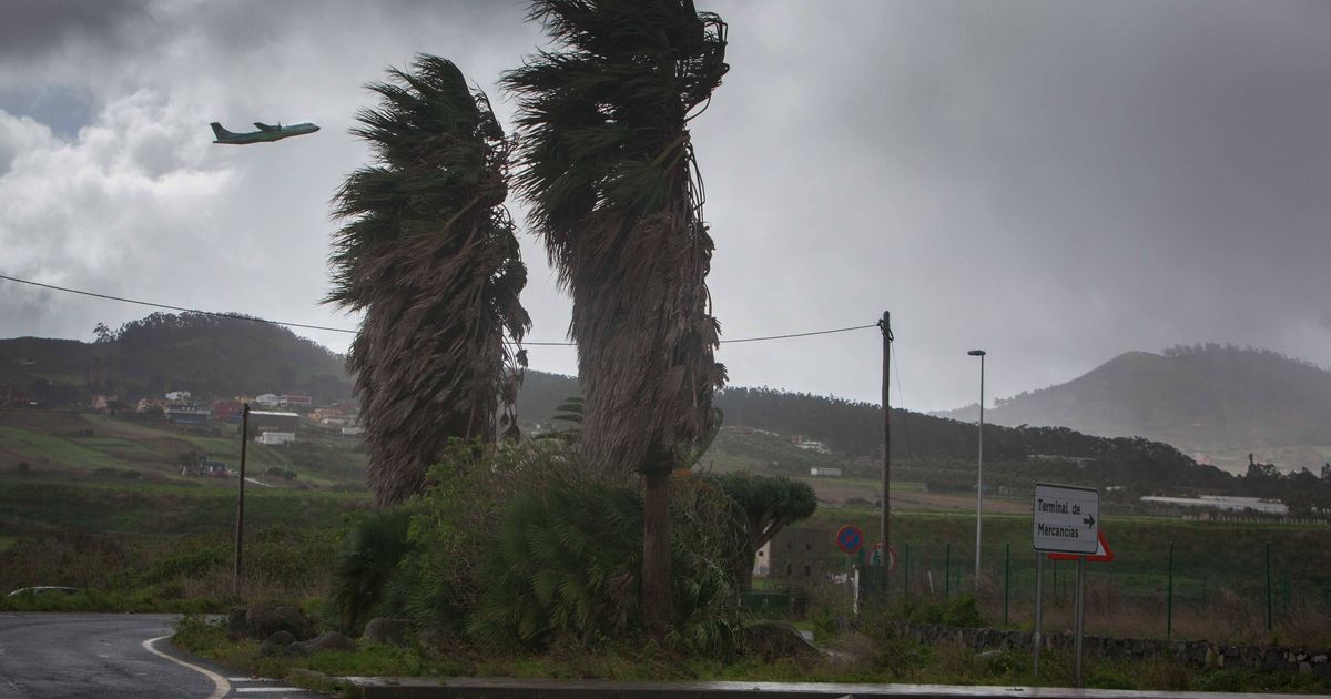
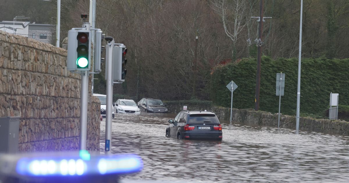
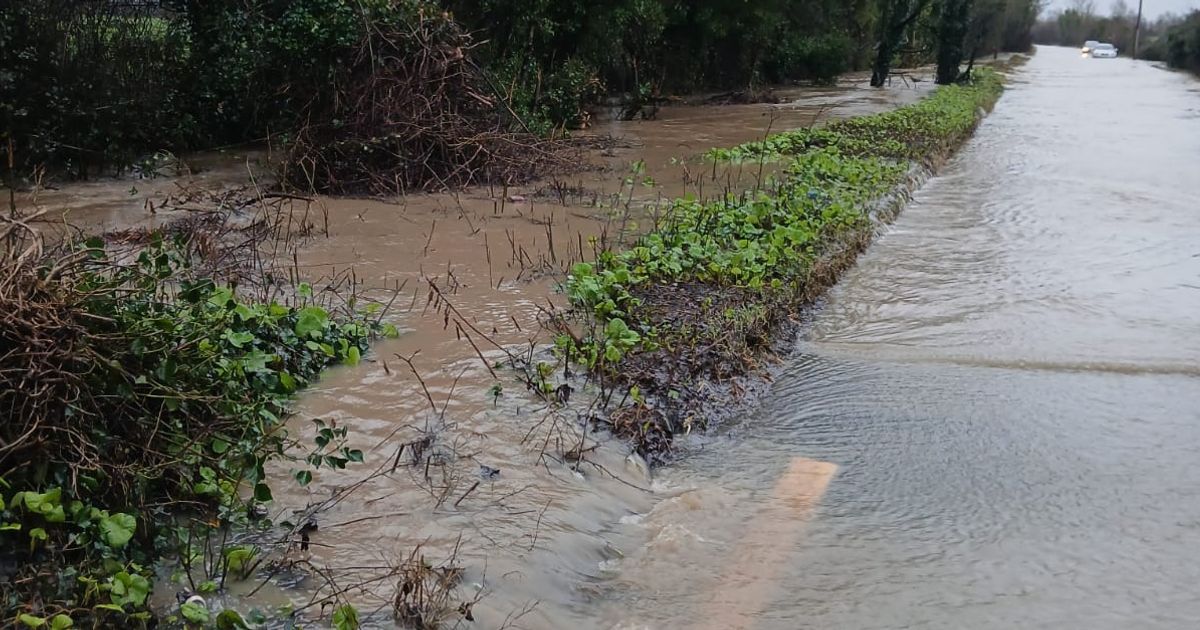
Parts of the capital suffered severe flooding earlier this week after Storm Chandra hit IrelandThere may be further flooding in Dublin today as a Status Yellow rain warning is due to kick in later.Parts of the capital suffered severe flooding earlier this week after Storm Chandra hit Ireland. The south of the city was particularly affected after the River Dodder burst its banks.A Status Yellow rain warning will be in place from noon today until midnight for Carlow, Dublin, Kilkenny, Louth, Wexford, Wicklow and Waterford. Met Eireann said further heavy rain and showers falling on saturated ground, combined with high river levels, may lead to localised flooding, river flooding and difficult travelling conditions.The UK Met Office has also issued a Yellow rain warning for Antrim, Armagh, Down, Fermanagh, Tyrone and Derry. The alert has been in place since midnight and will expire at 6pm.There will be scattered heavy showers at first in Dublin this morning, but these will become isolated and it will become mainly dry with sunny spells for a time. Cloud will build from the south and it will become wet during the afternoon and evening.With saturated ground conditions and high river levels, further localised flooding is possible. Highest temperatures of 9 or 10 degrees are forecast with moderate to fresh east to southeast winds, easing light to moderate.Tonight will be cloudy in Dublin with outbreaks of rain. Lowest temperatures of 5 or 6 degrees are forecast with light to moderate and variable winds.Tomorrow will be mainly cloudy with scattered outbreaks of rain in the capital. Highest temperatures of 7 or 8 degrees are forecast with light to moderate, variable winds.Here is Met Eireann's national outlook for the coming days:Overview"Low pressure will continue to dominate, bringing further spells of rain or showers at times."Saturday night"Scattered showers and clear spells at first, along with patches of mist and fog. Cloud and outbreaks of rain will move into the west and south overnight. Lowest temperatures of 1 to 5 degrees with light to moderate west to southwest or variable winds, becoming fresh at times in the west and south."Sunday"Cloud and outbreaks of rain will move northeastwards across the country, with dry and bright conditions following from the southwest. Highest temperatures of 5 to 10 degrees with light to moderate and variable winds."Sunday night"A few patches of light rain in the northeast and east, but otherwise dry with long clear spells. Patches of mist and fog will form in light, variable winds. Cold with frost as temperatures fall to between -2 and +3 degrees."Monday"Cold with mist and fog on Monday morning. It will become mostly cloudy with patchy rain or drizzle developing, mainly in eastern areas. Highest temperatures of 5 to 9 degrees with moderate to fresh easterly winds."Monday night"Cloudy with outbreaks of rain or drizzle. Lowest temperatures of 1 to 5 degrees with moderate to fresh easterly winds."Tuesday"Remaining mostly cloudy with outbreaks of rain or drizzle. Highest temperatures of 3 to 7 degrees with moderate to fresh easterly winds, decreasing light to moderate."Further outlook"Staying unsettled with further spells of rain or showers."Join our Dublin Live breaking news service on WhatsApp. Click this link to receive your daily dose of Dublin Live content.We also treat our community members to special offers, promotions, and adverts from us and our partners. If you don’t like our community, you can check out any time you like. If you’re curious, you can read our Privacy Notice .For all the latest news from Dublin and surrounding areas visit our homepage.