'Deepening Atlantic low-pressure system' to hit Ireland as Met Eireann issues weather warnings
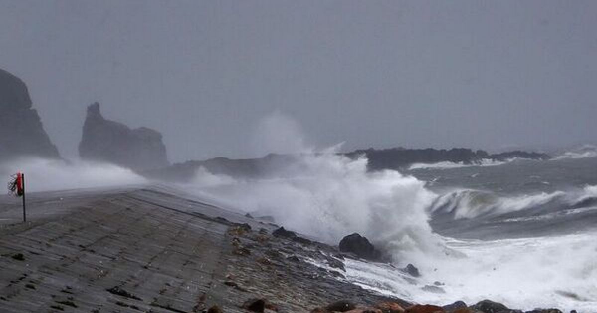
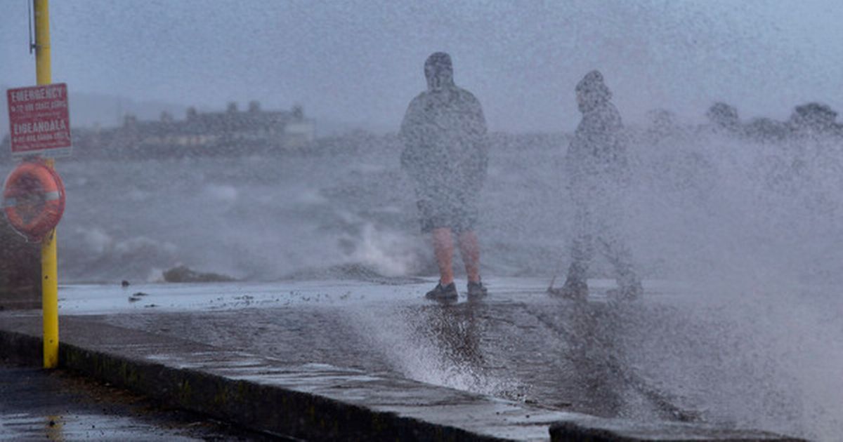
Heavy seas in Howth (stock)(Image: Colin Keegan, Collins Dublin)A Status Yellow wind warning for Ireland will kick in at 3am tomorrow as very strong winds hit the country.The warning will be in place for 18 hours, until 9pm on Tuesday evening. Met Eireann warned there will be very strong and gusty southerly winds with gales possible near coasts.There will be increased flood risk in coastal areas due to coincidence with very high spring tides. Carlow, Kilkenny, Wexford, Cork, Kerry, Tipperary and Waterford will be under a Status Yellow rain warning from 9pm tonight until 9am tomorrow.Met Eireann said the miserable conditions are due to a deepening Atlantic low-pressure system. After a week of persistent rain, soils across the country are already highly saturated and many rivers are approaching bank-full conditions, so any additional rainfall is likely to result in surface and river flooding on Tuesday and possibly during following days, they warned.Meteorologist Matthew Martin, said: “It’s looking increasing likely that Ireland will experience some very inclement weather from Monday night and through Tuesday. A low-pressure system in the Atlantic is going to deepen fairly rapidly as it approaches the country on Monday night."Initially there will be a spell of heavy rain before a swathe of very strong winds develop. There remains a good deal of uncertainty in the track and intensity of the system, but it has the potential to be an impactful event. Given its evolving nature, we have issued a yellow wind warning for the entire country which will be updated when certainty increases, as well as yellow rainfall warnings for certain areas, and we encourage everyone to check in regularly with Met Éireann’s forecasts and warnings."Flooding impacts are expected as the rain will fall on already saturated ground and many rivers are currently approaching bank full conditions. We are in a period of high astronomical tides, which will coincide with the strong, potentially onshore winds, so coastal flooding is likely. We echo the well-known advice of the Irish Coast Guard: “Stay Back, Stay High, Stay Dry”."The high tides will prevent the rivers from discharging to the sea, significantly increasing the risk of upstream flooding along low-lying areas. People should refer to the guidance of their local authorities and emergency responders in their area.”Join our Dublin Live breaking news service on WhatsApp. Click this link to receive your daily dose of Dublin Live content.We also treat our community members to special offers, promotions, and adverts from us and our partners. If you don’t like our community, you can check out any time you like. If you’re curious, you can read our Privacy Notice.For all the latest news from Dublin and surrounding areas visit our homepage.