Warm weather on the way following Storm Dave chaos - but how long will it last?
A blast of warm air is set to hit the country next week, after Storm Dave brings heavy winds and rain over the weekend.
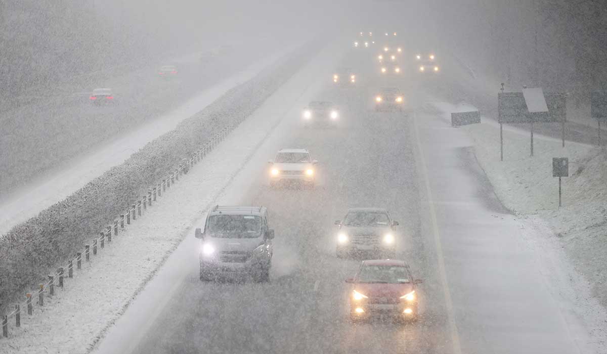
The country is battening down the hatches this afternoon ahead of Storm Dave, as a yellow wind warning is in place for all 32 counties. A yellow rain warning is also in place for Co Mayo and Donegal and will remain in effect until 4 pm on Saturday.
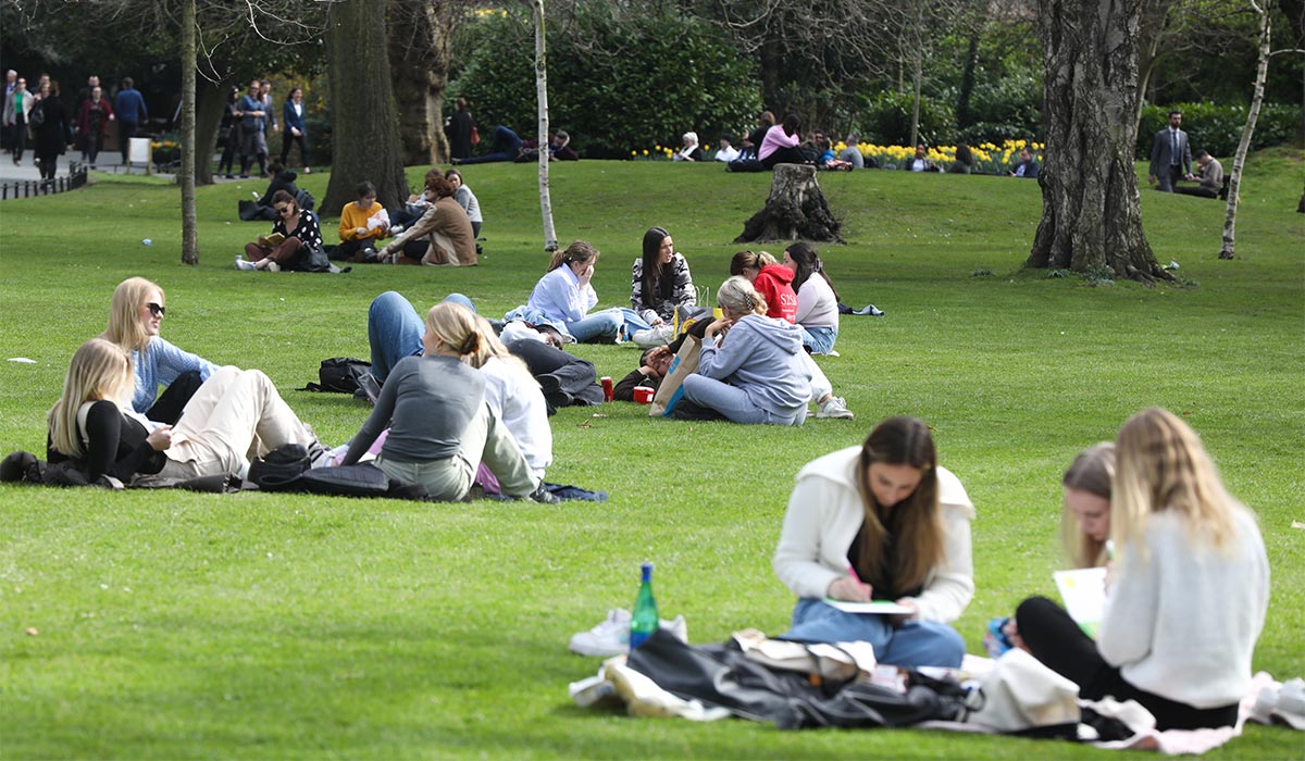
While many were hoping for an Easter weekend reminiscent of the season we’re meant to be in, the Storm is also expected to bring snow to higher ground — but meteorologist Alan O’Reilly has said that next week we might see some Springlike conditions.
Pic: Getty Images
Taking to Twitter (X) on Saturday morning, Alan O’Reilly wrote that there will be a ‘brief’ blast of warm air, which will see temperatures (relatively) soar to highs of 16C. (Sweltering)
However, don’t put the umbrellas and big jackets away just yet — as he added that the heat will only be around on Tuesday and Wednesday, before cooler temperatures prevail on Thursday.
‘A brief blast of warm air on Tuesday and Wednesday with temperatures up to 16 °C before dropping back quickly on Thursday,’ he wrote.
The country is set to be battered by Storm Dave on Saturday. Pic: Colin Keegan/Collins Dublin
While Storm David will dominate the weather cycle for the next 24 hours, Met Éireann says that, while things will remain fairly unsettled for much of next week, we’ll see some reprieve from the dark and dreary spring with sunny spells.
Conditions will be windy to kick off next week, with patchy outbreaks of rain and light drizzle on Monday. Brighter spells will develop at times throughout Monday afternoon, and conditions will be mild in the afternoon. Highest temperatures of 10 °C to 13 °C.
Monday night will be dry, with long clear spells early on, before cloud increases from the southwest towards morning, bringing scattered showers. Lowest temperatures of 5 °C to 9 °C.
While Tuesday will bring high temperatures, it will be rather wet with showery outbreaks of rain moving northeastwards throughout the day. Highest temperatures of 12 °C to 16 °C- 17 °C.
Wednesday will be cloudy but warm, becoming brighter through the morning with a chance of hazy sunny spells developing. Dry for most of the country, save for a few isolated showers in the east. Cloud will start to increase from the west again later in the evening, with the highest temperatures remaining around 12C to 17C
While the high pressure will become established to the south on Thursday, it will allow for a brief reprieve. Conditions will take yet another turn on Friday as further spells of unsettled weather move in from the Atlantic.