Exact time Storm Dave to hit Ireland as Met Eireann reveals Easter Sunday forecast
Parts of the country are set to be hit by gale-force winds and heavy bouts of rain, as Storm Dave hits Ireland.
While some were hoping for the three/four-day Easter weekend to be reminiscent of Spring, or even the start of Summer, we were left with a rude awakening earlier this week, as Met Éireann issued a weather advisory on what has become Storm Dave.
While some parts were hoping that the storm wouldn’t reach them, Met Éireann has issued a yellow wind warning for the entire country, with some Easter events being cancelled as a result of the impending storm.
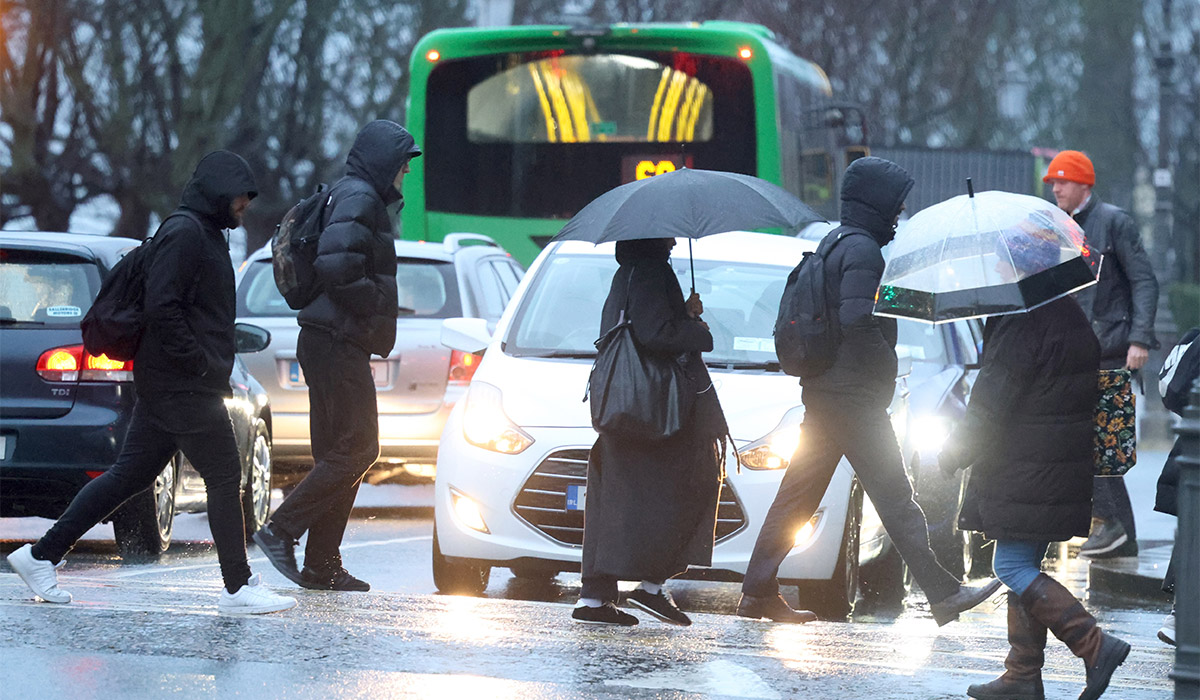
Parts of the country are set to be hit by gale-force winds and heavy bouts of rain, as Storm Dave hits Ireland. Pic: Colin Keegan/Collins Dublin
The yellow wind warning will come into effect at 1pm on Saturday, with Met Éireann warning that the storm will bring very strong southerly winds, veering westerly by the evening with severe gusts and coastal gales.
Possible impacts include some fallen trees and branches, wave overtopping, difficult travel conditions and debris and loose displaced.
The warning is expected to be in place until 2am on Easter Sunday.
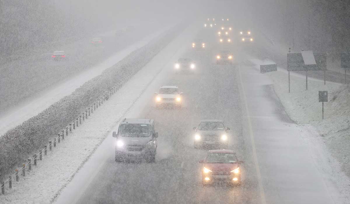
Parts of the country are set to be hit with spot flooding as part of the yellow wind warning, while Mayo and Donegal have just been issued with a yellow rain warning. Pic: Niall Carson/PA Wire
A yellow rain warning has been issued for Saturday morning for Mayo and Donegal. This warning will come into effect at 8am on Saturday, and will remain in place until 4pm. Met Éireann has warned people to expect heavy rain at times in the counties, which will lead to possible localised flooding, poor visibility and difficult travel conditions.
While the wind warning is in place, Met Éireann has warned that there will be a band of rain moving across the country, bringing very wet weather along with the aforementioned wind.
Southerly winds veering southwesterly will strengthen to very strong and gusty throughout the day, while outbreaks of rain and drizzle will turn into sleet and, in some cases, snow on higher ground. The rain will spread eastwards through the afternoon, with spot flooding possible, before clearing to scattered showers.
It will remain windy at first on Saturday night, with clear spells and scattered showers and a chance of hail and sleet on higher ground. It will be chilly, too, with lowest temperatures of 0C to 4C.
Things will look a little better on Easter Sunday, which is forecast to be bright and breezy with scattered showers and sunny spells. Some showers may fall as sleet or hail on higher ground early on, but the showers will become more isolated through the afternoon.
Sunday night will start off dry for most of the country, with clear skies — but cloud will increase from the west overnight with outbreaks of rain and drizzle moving in over the Atlantic coastal parts towards morning. Lowest temperatures of 0C to 4C.
The Bank Holiday Monday will kick off windy and generally dry to start the week, but there will be patchy outbreaks of light rain and drizzle. It’s not all bad news, however; as brighter spells will develop at times later through the afternoon with highest temperatures of 10C to 13C.