'No sign of early spring heat' as Met Eireann issues warning
After a very brief glimpse at better weather, Ireland has been plunged right back into the cold, with temperatures dropping to below zero.
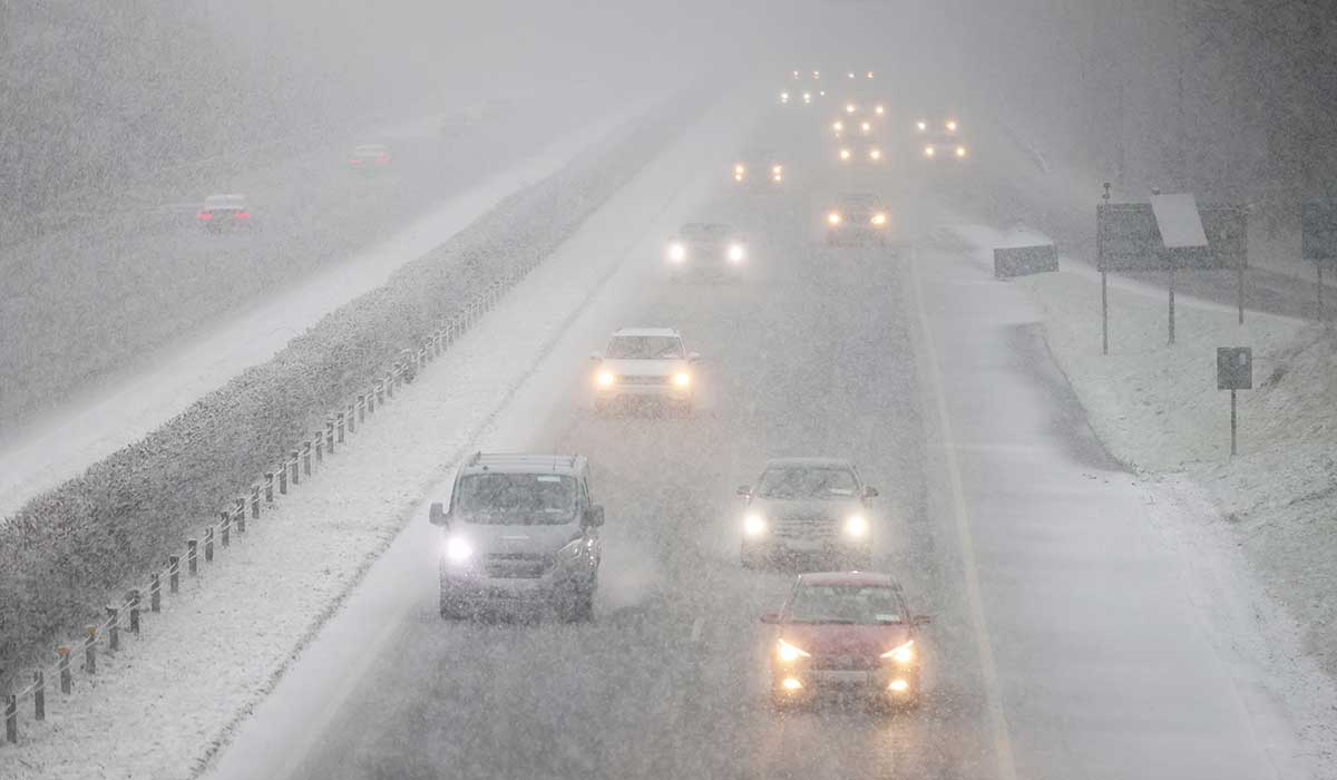
Snow fell in several parts of the country on Thursday, and although it hasn’t stuck, the bitter chill is certainly being felt.
Met Eireann has said that Friday will have a cold start, warning that widespread frost and ice will lead to difficult travelling conditions.
Pic: Stephen Collins / Collins Photos
It will be a sunny day. However, highest temperatures are set to reach only 8C to 11C.
The cold forecast was also echoed by Carlow Weather’s Alan O’Reilly, who warned that there is no sign of ‘any early spring heat’.
Taking to X, he wrote: ‘That windchill is biting now with no sign of any early Spring heat and with the price of heating oil that will hurt.’
Pic: Eamonn Farrell / © RollingNews.ie
In a separate post, he added: ‘Jet Stream strengthening next week and that means risk of storms increases again. Mainly later next week at present but details this far out very uncertain.’
Meanwhile, Met Eireann says that Friday night will start out with clear skies at first, but patchy cloud will spread from the south and west towards morning with lowest temperatures of -1C to 4C.
Saturday will be another largely dry day with spells of sunshine, though isolated light showers will drift up from the south, with highest temperatures of 9C to 12C.
Pic: Stephen Collins / Collins Photos
Unfortunately, weather bosses are expecting conditions to become more unsettled for the rest of the weekend, with spells of rain spreading from the Atlantic at times.
Met Eireann said: ‘Saturday night: A dry and clear night at first. Cloud will thicken from the southeast overnight, bringing a few patches of light rain and drizzle to southern and eastern coasts by morning.
‘Lowest temperatures of 0 to +4 degrees generally, though it will be milder in Atlantic coastal regions, in light to moderate southeast winds.’
Sunday is set to start out largely cloudy, with just a few sunny spells and the odd patch of light rain and drizzle in the south and east.
More persistent rain will develop across the western half of the country through the day with highest temperatures of 8C to 12C.
On Sunday night, outbreaks of rain and drizzle will spread eastwards across the country with lows of 2C to 6C in a light westerly or variable breeze.
It comes as a ‘more colourful sunrise’ took place on Thursday morning as a bout of Saharan Dust made its way to Europe from Africa.
The dust was forecast to stretch from the north of Africa and reach as far as Ireland, with people advised not to bother washing their windows before the arrival.