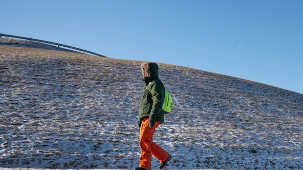
Arctic air mass extends over most of Canada, bringing extreme cold
Listen to this articleEstimated 2 minutesThe audio version of this article is generated by AI-based technology. Mispronunciations can occur. We are working with our partners to continually review and improve the results.An Arctic air mass moving across North America is causing extreme cold in Western Canada, according to Environment and Climate Change Canada (ECCC). The extreme cold, which will continue into the weekend, is being felt mainly in the Prairies, with parts of northwestern Ontario, Nunavut and most of Saskatchewan and Manitoba under orange warnings as of Thursday. In Manitoba, wind chill values range from –45 to –50 C until Monday, according to the government agency."Frostbite can develop within minutes on exposed skin, especially with wind chill," the ECCC warning said. "Keep emergency supplies in your vehicle such as extra blankets and jumper cables."Northwestern Alberta will see chill values between –40 and –50 C over Thursday, while northwestern Ontario is expected to see a "multi-day episode of very cold wind chills."ECCC advises outdoor workers to take regularly scheduled breaks to warm up. Under these extreme conditions, it recommends dressing in layers that people can remove if it gets too warm, and wearing outer layers that are wind resistant.ECCC meteorologist Natalie Hasell said that while this particular weather event is not expected to break temperature records, the intensity of the cold has made the polar vortex "statistically significant" across southern and central Saskatchewan and Manitoba. "With this polar vortex sitting over Quebec, the Prairies are in flow from the north," Hasell said. "Since there's no topography or mountains or anything to stop that cold air, it's just increasingly cold air coming into the Prairies."ECCC also issued yellow-level snow squall warnings in parts of Quebec, including Montreal, and northern and southwestern Ontario.