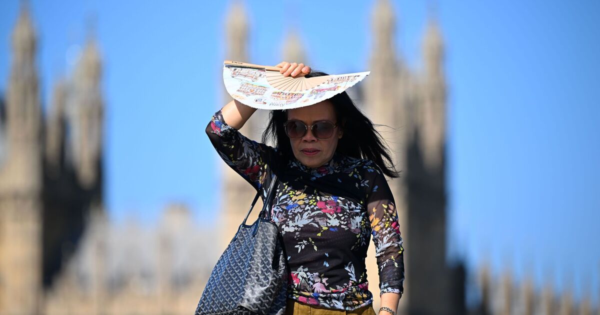
The UK is battling through another scorching heatwave, with temperatures soaring across large parts of the country. Today (Thursday) is expected to be the hottest day of the week, with temperatures reaching 38C in some parts of the UK.
But some cooler weather is on the way, with weather maps showing how different conditions could look by Thursday, August 20. Met Office maps, which show the forecast for 11am next Thursday, have temperatures at just 13C in Stornoway, while Aberdeen is at 14C and Glasgow is also forecast to be around 14C.
Belfast is shown at 15C, while Manchester is forecast to be around 16C by 11am.
Further south, temperatures are expected to remain slightly warmer, with 18C in Cardiff and Plymouth and 19C in London.
It means the heat experienced across the UK this week will have fallen away significantly in many places, with the cooler conditions particularly noticeable across northern parts of the country.
A second Met Office map for 11am on Friday, August 21, shows temperatures remaining at similar levels.
Stornoway and Aberdeen are both forecast to be around 13C, with Glasgow and Belfast at 14C.
Manchester is shown at 15C, while Cardiff and Plymouth are both forecast to reach around 18C. London remains the warmest of the locations shown on the map at 19C.
The Met Office's long-range forecast for Monday, August 17 to Wednesday, August 26 also says more unsettled weather could arrive.
It said: "Into the start of next week frontal systems will likely approach or move across the UK from the Atlantic. These will bring bring rain to many parts of the UK, although any heavy rain will probably be across high ground in the northwest. Temperatures will likely be near normal or slightly above."
The forecaster added: "Later in the period, high pressure will probably have more of an influence with drier conditions developing for many. Some rain is still possible at times, particularly in the north, together with a risk of thunderstorms in the south. Temperatures will likely be above normal."