Nationwide travel chaos as hurricane-force winds rip through multiple US states
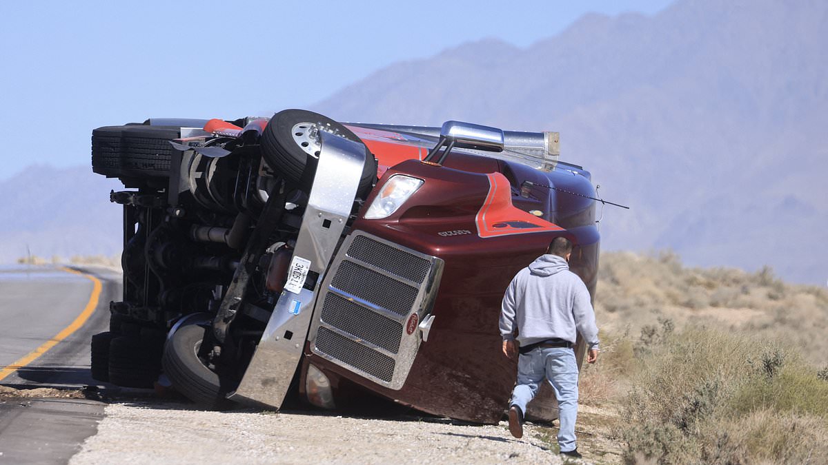
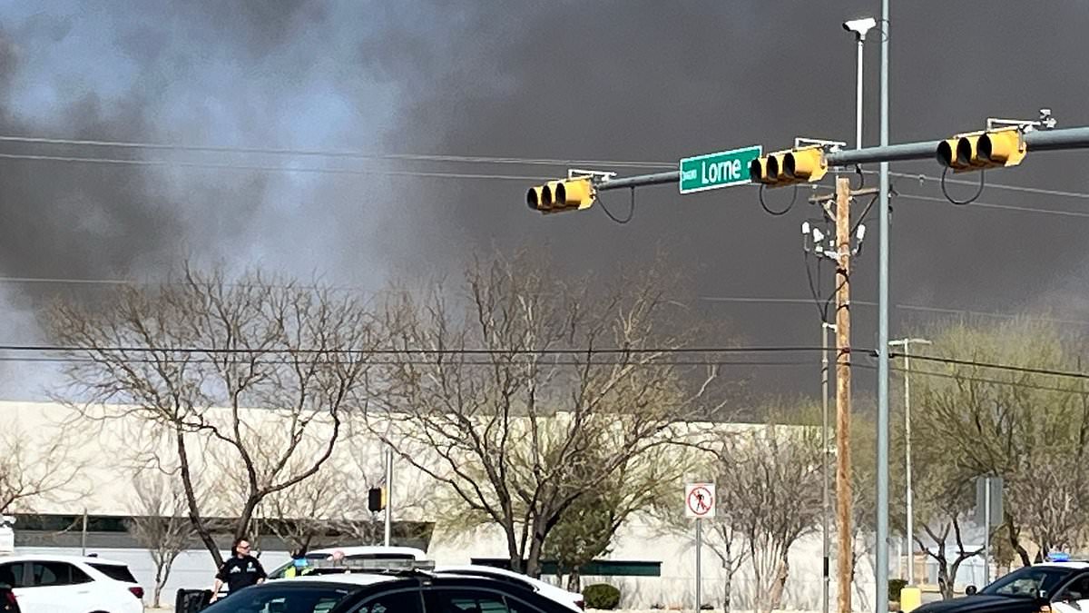
Extreme winds ripping across the US could cause hurricane-level destruction and affect thousands of air travelers nationwide.High wind warnings have been issued throughout more than ten states in the Rocky Mountains, Great Plains, and Southwest throughout Tuesday.Gusts are expected to reach hurricane strength, exceeding 75mph, in parts of Colorado, Montana, Texas, New Mexico and Wyoming, according to the National Weather Service (NWS).Parts of Oklahoma, Kansas, California, South Dakota, Nebraska and Alaska have also been warned to prepare for sustained winds over 30mph and gusts between 60 and 70mph.NWS has even said that Americans in the skies may be at risk of injury as air turbulence is expected to be particularly extreme, especially over Texas and New Mexico.The addition of blizzard conditions across the Northern Plains, including Wyoming, Montana and the Dakotas, is predicted to compound travel misery through Wednesday, bringing several inches of snow, 60mph wind gusts and little to no visibility on roads.The wind gusts could be so extreme that NWS officials fear large trucks and tractor-trailers could be blown over on their sides while driving.Meanwhile, flights at Denver International Airport have already been delayed by more than two hours due to wind conditions on the runway. The National Weather Service has issued high wind warnings and advisories (brown patches) throughout the Rocky Mountains, Great Plains and Southwest on Tuesday, February 17 Air turbulence is expected to be extreme over certain states in the Southwest on Tuesday, with ground delays already announced in Colorado (stock image)As of 10am ET, 190 flights leaving Denver International have been delayed due to the powerful winds and another 265 flights arriving have been delayed as well.Officials in the South are also bracing for devastating fires triggered by the high winds, issuing 'Red Flag Warnings' in Texas, New Mexico, Kansas, Nebraska, South Dakota, Colorado and Wyoming. NWS explained: 'A Red Flag Warning means that critical fire weather conditions are either occurring now, or will shortly. A combination of strong winds, low relative humidity, and warm temperatures can contribute to extreme fire behavior.'Many areas under the Red Flag Warning have dry grass, brush, and dead plants from winter dryness or drought, which provide perfect fuel for wildfires.Strong gusts over 50mph can act like a fan, blowing on smaller fires and pushing the flames in the direction the wind is blowing, making them move much faster across the ground than on a calm day.The winds also bring fresh air and more oxygen right into the flames, making it burn hotter and more intensely.Embers from the growing fires can fly ahead and start new fires far ahead of the main fire, sometimes even miles away. The embers land on more dry grass or brush and start 'spot fires' that create new blazes before firefighters can arrive.Anyone who sees smoke outside in these states has been urged to call 911. Residents have also been urged to avoid any kind of outdoor burning on Red Flag Warning days. Wind gusts reaching hurricane strength are expected to blow over large trucks (file image) Heavy snow and low visibility in northern states, including Montana and Wyoming, are expected on Tuesday as wellRead More Strange changes to air over Hawaii spark fears of deadly plane plunges... and danger is spreading 'High winds may move loose debris, damage property and cause power outages. Travel could be difficult, especially for high-profile vehicles,' NWS added in their alert.'Plumes of blowing dust will create pockets of low visibility. Visibilities will likely change rapidly over short distances, making travel hazardous in these areas.'Moving west, another blast of winter weather could further snarl travel throughout the US, with storm advisories issued in Nevada, Utah, Arizona, Oregon, and California.Along California's border with Nevada, four to eight feet of snow is expected to fall by Wednesday, with the heaviest accumulations occurring on Tuesday.The winds are predicted to be extremely dangerous at higher elevations throughout the Sierra Nevada Mountains, with gusts surpassing 100mph on ridgetops in the 400-mile-long mountain range.
In the North, conditions are projected to deteriorate rapidly, with the NWS issuing avalanche warnings in western Montana and central Idaho.In Montana, anyone in the higher elevations of the Whitefish Range, Swan Range, Flathead Range, and parts of Glacier National Park is at risk through Wednesday.In Idaho, NWS has warned of deadly avalanches breaking out in the Pioneer Mountains, Boulder Mountains, Smoky Mountains and Southern White Cloud Mountains.'Natural and human-triggered avalanches large enough to bury people, snap trees, and destroy structures are near certain to occur.'