Met Office maps show 400-mile wall of snow to hit England within days
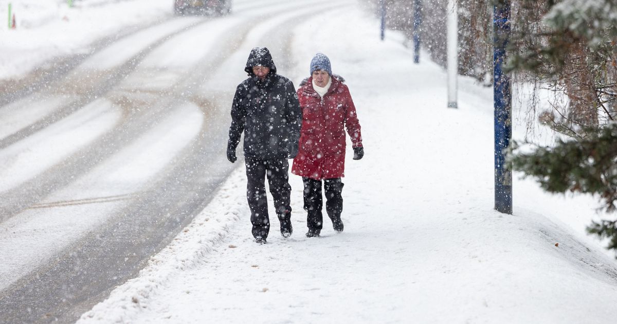
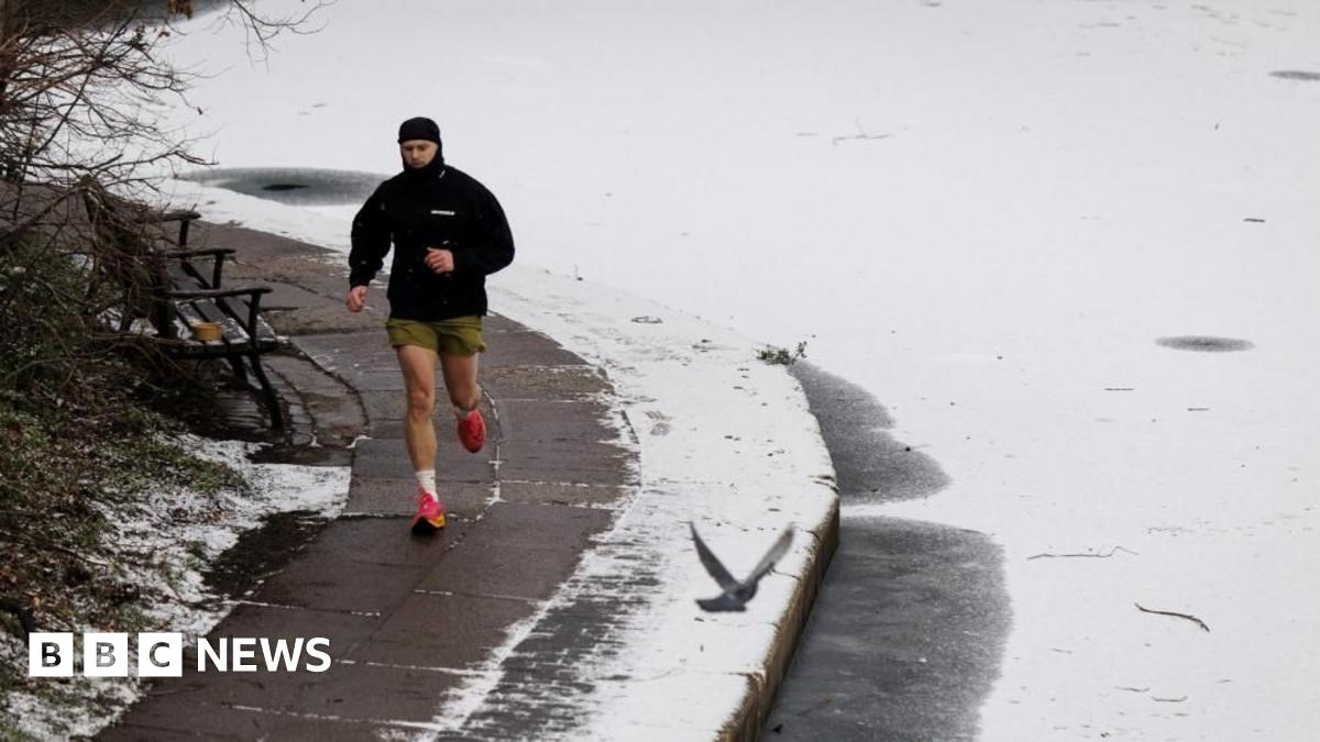
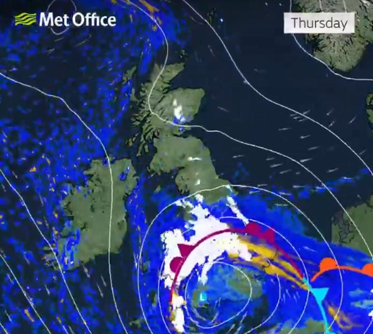
After a week of freezing temperatures and disruption caused by snow and ice, more snowfall is on the way. Storm Goretti is expected to bring heavy snow and strong winds to parts of the country, with up to 30cm falling in parts of the UK.The Met Office has issued a number of severe weather warnings for snow, ice, wind and rain across the UK on Thursday (January 8), including to amber alerts that warn of 'disruption and dangerous' conditions.An amber snow warning has been issued across Wales and parts of the Midlands from Thursday evening until Friday morning, with anywhere between 10-30cm of snow forecast. An amber warning for wind has also been issued in the southwest of England on Thursday evening, with gusts of up to 90mph posing a potential 'danger to life'.But after the storm moves past England on Friday evening, more snow could be on the horizon this weekend - including a 400-mile wall of snow forecast to batter the UK. Met Office maps show a large band of moderate-heavy snow due to sweep England on Sunday night (January 11) and into Monday, with further large pockets of heavy snow forecast in Scotland.Weather maps show a large band of rain and hail moving east across the UK, hitting western parts of the country at around 3pm on Sunday, before turning into snow over Wales at around 6pm. By midnight, the snow is expected to form a 400-mile-long wall across England from as far south as Basildon, Essex up to Newcastle Upon Tyne.Further bands of snow are forecast in central and northern Scotland, with western parts of England and Wales forecast more rain. However, the Met Office warns Sunday's forecast is very uncertain.Met Office Deputy Chief Forecaster Mark Sidaway said: "It’ll remain cold or very cold to start the weekend, although for most it will be dry. We then have very large uncertainties in the forecast by Sunday and Monday as milder air from the Atlantic tries to displace the cold air over the UK."This set up brings a risk of some further widespread snowfall, so it’s important to stay aware of the forecast and any warnings which may be issued over the next few days."Despite the uncertainty, temperatures are expected to remain below average throughout this period. The UK Health Security Agency (UKHSA) has extended its amber cold health alerts across England until Sunday.Dr Agostinho Sousa, Head of Extreme Events and Health Protection at UKHSA, said: "The current cold snap is now expected to last at least until this weekend according to Met Office forecasts, and we know that prolonged exposure to low temperatures can have a severe impact on people’s health, especially if they’re older or have serious health conditions."That’s why we’re urging people to check in on friends, family and neighbours who may be more vulnerable to the cold and make sure that they’re able to keep themselves warm while this period of cold lasts."