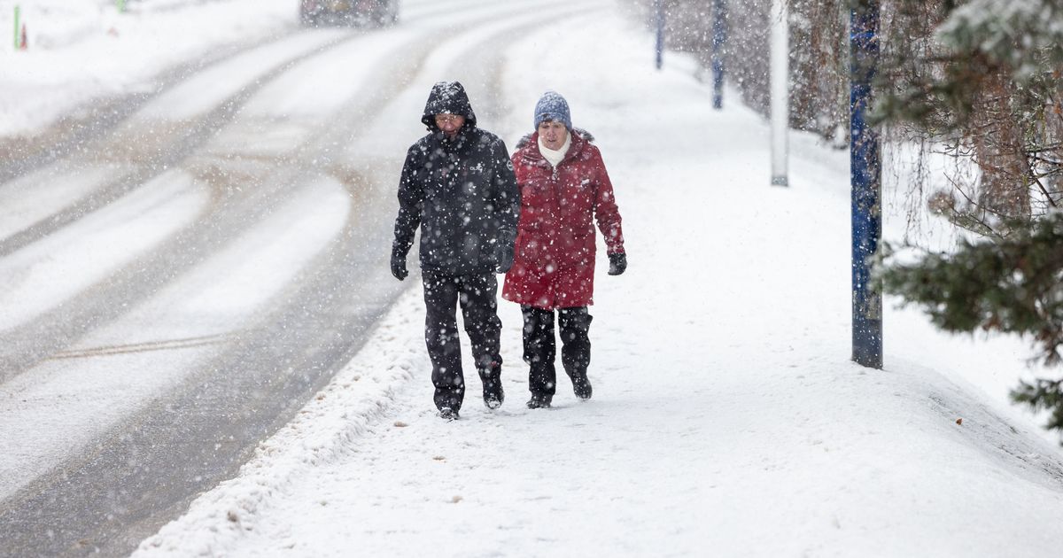
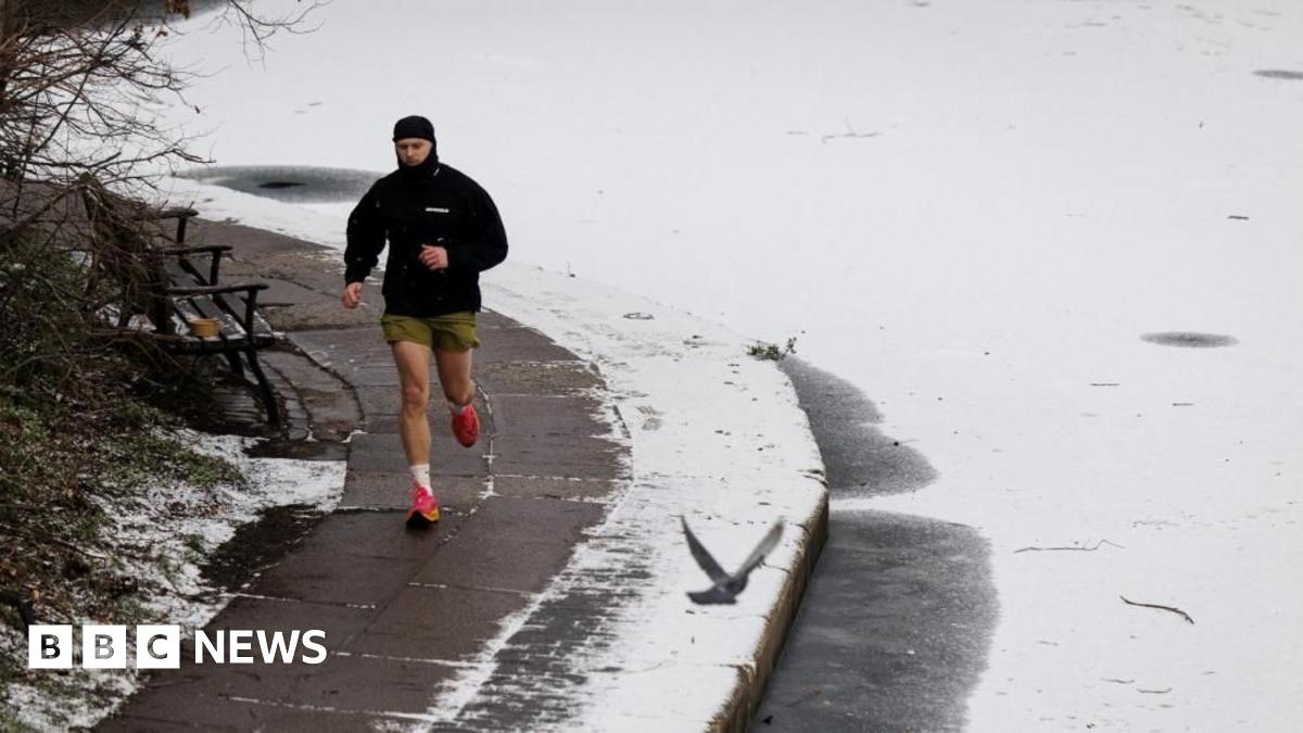
UK weather latest: Ice warnings in place across UK as parts of Scotland set for heavy snow
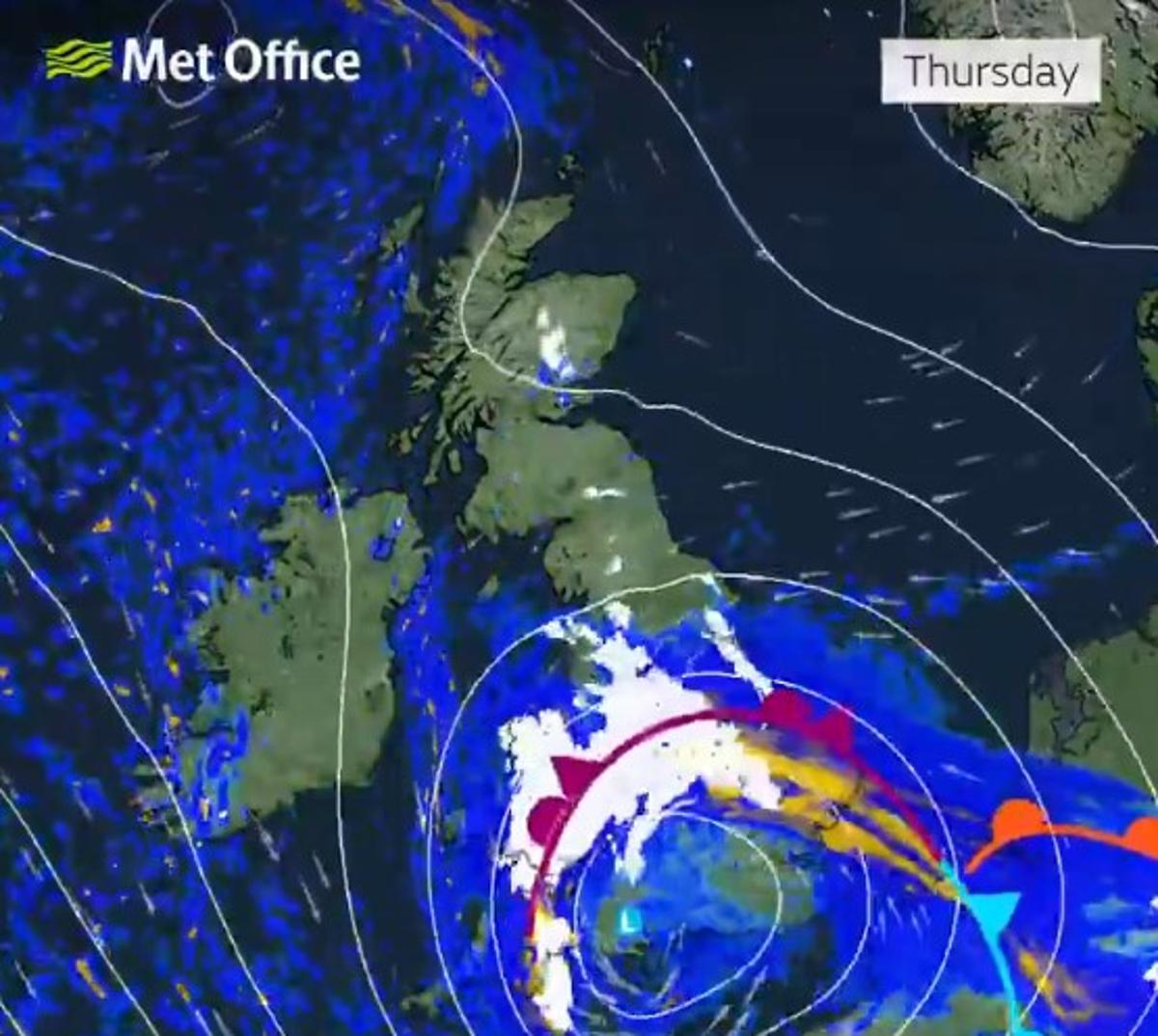
Rain, wind and heavy snow - Goretti forecast for next few dayspublished at 13:17 GMT13:17 GMTSimon KingBBC Weather presenter and meteorologist
Strong winds, heavy snow and heavy rain means that Goretti will be a multi-hazard storm system affecting much of England and Wales, with many amber and yellow warnings in force for Thursday into Friday.It will be rapidly developing as it approaches south-west England by Thursday lunchtime - bringing some rain and strengthening winds. Later in the afternoon, wind gusts will increase up to 90mph in the Isle of Scilly and Cornwall which will bring damage and disruption.As rain then spreads northward across England and Wales, it bumps into the colder Arctic air we’ve had in place over the past week and will result in the rain turning to snow by Thursday evening.Initially this will be on hills and then to lower levels overnight. Accumulations of 10-15cm are likely fairly widely across mid and east Wales, the Midlands and up to the southern Pennines, with the potential for 20-30cm, more especially on the hills of Wales and Peak District.Heavy rain could also bring some localised flooding to parts of south-west Wales and Eastern England.Snow and rain will then ease into Friday morning but with snow on the ground, there’s likely to be travel disruption for the morning commute.