Next UK snow bomb will last 72 hours and bury 225 miles of England
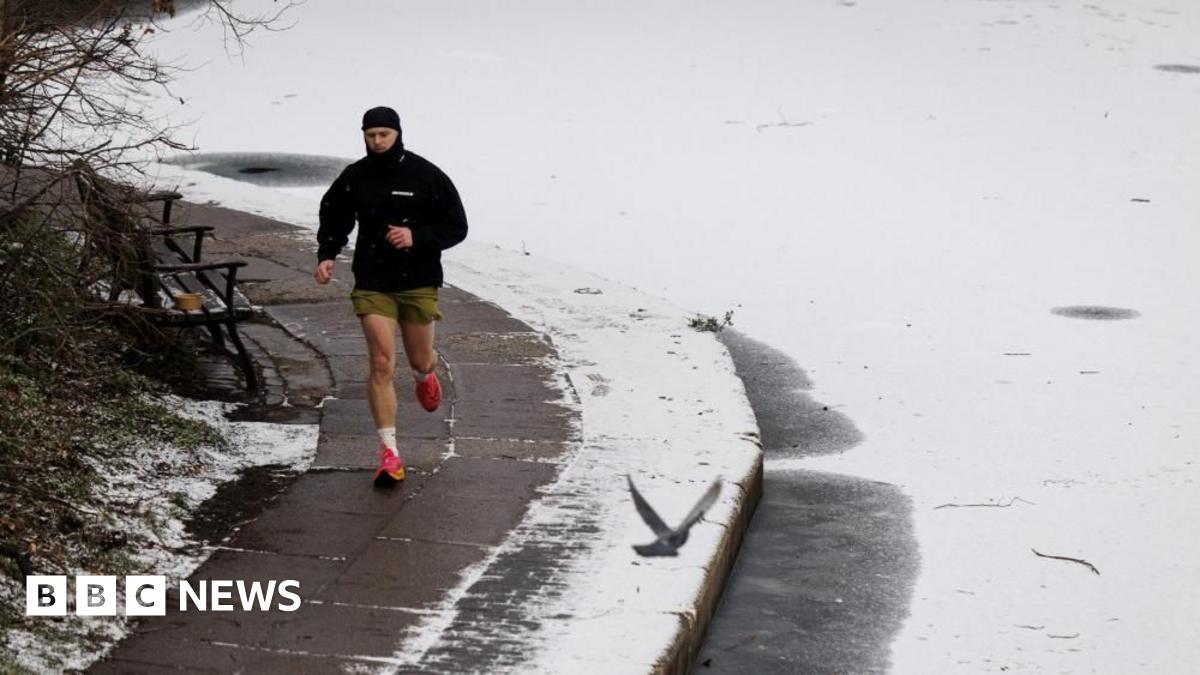
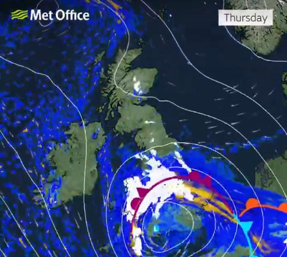
The next UK snow bomb is set to be massive - covering everywhere in the south from Greater London and the Home Counties to the south coast and Devon. -10C temperatures could hit England in the deep freeze, the maps and charts show.WX Charts, which based its projections off the Met Desk data, shows the white stuff covering everywhere from the capital city to the south west of England.Maps based off the GFS modelling system, show snow will hit from January 8 to January 10 - a three-day period. The 72 hours of snow could be even worse than the flurries seen this week, on Monday and Tuesday.READ MORE UK snow bomb from Friday will be so bad everyone 'should just stay home'The snow could hit the south east, south west, Midlands and swathes of Wales, the maps show. Flurries are shown in white, grey and light blue, as they sweep the country and turn the UK deeply chilly.Snow will hit Devon, the East Anglia including Norfolk and Suffolk, as well as the Midlands to Staffordshire and Stoke-on-Trent. Snow depths and accumulations could vary.The snow covers a 225-mile span in England, from north Staffordshire to Devon.Parts of northern Scotland will remain under amber warnings of snow until Tuesday night, while less severe yellow warnings cover large swathes of the UK until 11am.Most yellow alerts across the UK will expire by late morning on Tuesday, with the amber warnings for Scotland lasting until 7pm.Heavy snow of 5-10cm has been widely forecast across central and northern regions of Scotland, with some areas set to see up to 15cm.The Met Office has advised those in the area not to drive and to prepare for possible power cuts. A BBC Weather forecast for Wednesday (January 7) explains: "Tomorrow will see some lingering patchy snow in northern Scotland, mainly light in nature."Drier elsewhere with sunny spells and variable cloud. Turning cloudy in Northern Ireland and the south-west."The outlook for Thursday to Saturday, spanning January 8 to January 10, added: "Cloudy on Thursday with patchy rain and snow in north Scotland. Rain will move in from the west into south England and Wales. Bright in Northern Ireland.2Overnight, the rain will look to turn to snow over central and southern England, but there is some uncertainty in this. Rain, snow and strong winds clearing on Friday to leave cloud, patchy rain and snow. Bright on Saturday."