Ireland weather: Status Yellow warnings in place for 12 counties
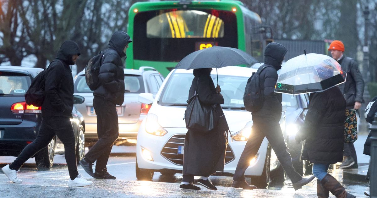
Ireland is set to be battered by wind, rain and snow overnight and into tomorrow, with a number of weather warnings set to come into effect later on for counties around the country.Overall, Met Éireann forecasters said that while the weather would continue unsettled with wet and breezy spells, temperatures would turn milder later in the week.Tuesday will kick off cold with frost and ice, before outbreaks of rain and drizzle will spread across Munster, possibly falling as sleet or snow for a time on high ground. It will also be wet and windy overnight with outbreaks of rain becoming widespread, possibly falling as sleet or snow at times.Wednesday will start wet and breezy with widespread outbreaks of rain and drizzle, also possibly falling as sleet or snow for a time in the northwest and on higher ground, before temperatures drop to -1C overnight.It will start to warm out on Thursday, with scattered showers or more persistent spells of rain moving across the country with drier and brighter conditions following, and overnight temperatures of up to 6C.The national forecaster has issued a number of weather warnings for Tuesday and Wednesday for counties along the east and south coast, with flooding and difficult travelling conditions on the cards, as well as a snow warning for some counties in the northwest.A Status Yellow Wind warning for Wexford, Wicklow, Dublin, Meath, and Louth will come into effect at 11pm, and will remain in place until 1pm on Wednesday. Met Éireann forecasters said strong and gusty southeasterly winds combined with high tides may lead to wave overtopping, fallen trees and loose debris, and difficult travelling conditions.A Status Yellow Rain warning will also come into effect for Cork, Waterford, Carlow, Kilkenny, Wexford, Wicklow, and Dublin at 11pm, staying active until 11pm on Wednesday. Met Éireann forecasters said rain falling on already saturated ground combined with high river levels will lead to flooding, poor visibility and difficult travelling conditions.A Yellow Ice Warning for Antrim, Armagh, Down, Fermanagh, Tyrone, and Derry is still in place until 10am on Tuesday. The UK Met Office warned wintry showers followed by clearing skies will lead to the risk of ice on Monday night into Tuesday morning.A Status Yellow - Rain/Snow warning for Donegal, Leitrim, Sligo will come into place at 2am on Wednesday, and will remain in place until 2pm on Wednesday. Met Éireann warned rain, which will be heavy at times and turning to sleet or snow together with strengthening winds, will lead to poor visibility and difficult travelling conditions.Here is Met Éireann’s forecast for the week ahead:TuesdayCold with frost and ice to begin. A dry day for most, it will be bright at first, but with cloud thickening from the southwest through the day. Outbreaks of rain and drizzle will spread across Munster from the southwest, possibly falling as sleet or snow for a time on high ground. Highs of just 3C to 7C, and becoming breezy with winds increasing easterly moderate to fresh.Becoming wet and windy overnight with outbreaks of rain becoming widespread, possibly falling as sleet or snow at times in the west and northwest and on higher ground. Lows of 0C to 5C early in the night, but becoming milder from the southwest through the night. Southeasterly winds will be fresh to strong.WednesdayWet and breezy with widespread outbreaks of rain and drizzle, possibly falling as sleet or snow for a time in the northwest and on higher ground. The rain will gradually become confined to Leinster and Ulster with scattered showers following for Connacht and Munster. Already saturated ground, together with strong onshore winds coinciding with high tides, mean that some spot and coastal flooding is likely. Highs of just 2C to 5C in the north, but of 5C to 10C elsewhere. Moderate to fresh southeasterly winds will be stronger near coasts.Mostly cloudy with drier conditions further east and scattered showers or more persistent spells of rain further west on Wednesday night. Lows of -1C to +3C generally, perhaps a little milder in the southwest, with light to moderate variable winds, fresher in the southwest.ThursdayStarting off mostly cloudy. Scattered showers or more persistent spells of rain will move northeastwards across the country with drier and brighter conditions following from the southwest. Highest temperatures of 5C to 10C, coolest in the north and mildest in the southwest, with light to moderate variable winds, fresher in the southwest early on.Becoming cloudy with outbreaks of rain and drizzle spreading eastwards across the country on Thursday night. Lows of 2C to 6C, with light southwesterly winds freshening through the night.FridayA windy day with outbreaks of rain and showers, heavy at times, spreading eastwards across the country. Some brighter spells will develop in the afternoon. Highest temperatures of 9C to 12C. Windy with fresh to strong southwesterly winds.Want to see more of the stories you love from the Irish Mirror? Making us your preferred source on Google means you’ll get more of our exclusives, top stories and must-read content straight away. To add Irish Mirror as a preferred source, simply click here