Next UK snow bomb will hit 11 counties in England and dump enormous 26cm
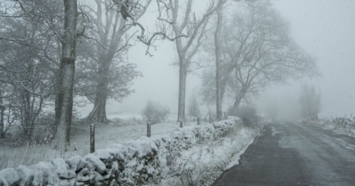
The next UK snow bomb has been upgraded to a "blizzard" and will hit across TWO DAYS this week, according to maps. Snow is forecast to sweep England, Scotland and Wales on January 15, and into January 16.The snow blast - on Thursday and Friday - could see heavy rain and torrential downpours make way to sleet and snowy conditions, with wintriness earmarked by the WX Charts.Met Desk data, and the GFS model, which is the advanced system WX Charts based its predictions on, shows snow sweeping the countries from late on Thursday with the white stuff lingering into Friday.READ MORE Major airline axes 'all' long-haul flights from top UK airportMaps have turned white, with everywhere north of the Midlands facing a dusting. Up to 26cm of snow has been predicted to fall over Perthshire, with Scotland based for the heaviest snow.In England, counties at risk include Herefordshire, Shropshire, Staffordshire, Cheshire, Greater Manchester, Lancashire, Yorkshire, Derbyshire, Durham, Cumbria and Northumberland.The BBC Weather team said: "On Thursday, there is a risk of wet and windy weather pushing northwards across England and Wales. In contrast, Scotland and Northern Ireland will stay drier with only a few isolated showers and bright spells."Showers across western parts on Friday with some snow over the Scottish hills. Drier and brighter elsewhere but cloudier in the north-east. Overcast and dry on Saturday."The Met Office forecast from January 27 onwards explained: "Changeable conditions are most likely to continue through this period."This means an ongoing likelihood of further spells of rain and windy conditions at times, these perhaps most prevalent in the west, but also there should also be some interludes of drier weather too, these perhaps more likely in the east."Temperatures probably remaining close to average overall, but there is the possibility of colder conditions and associated winter hazards at times, due to higher pressure extending from the north or east."Late in the period, there is currently a hint that a north-south or northwest-southeast split develops, with wetter weather becoming more confined towards the north or northwest and drier conditions developing further south or southeast."