Tough holiday weekend travel | First Alert Weather+ Ep 47
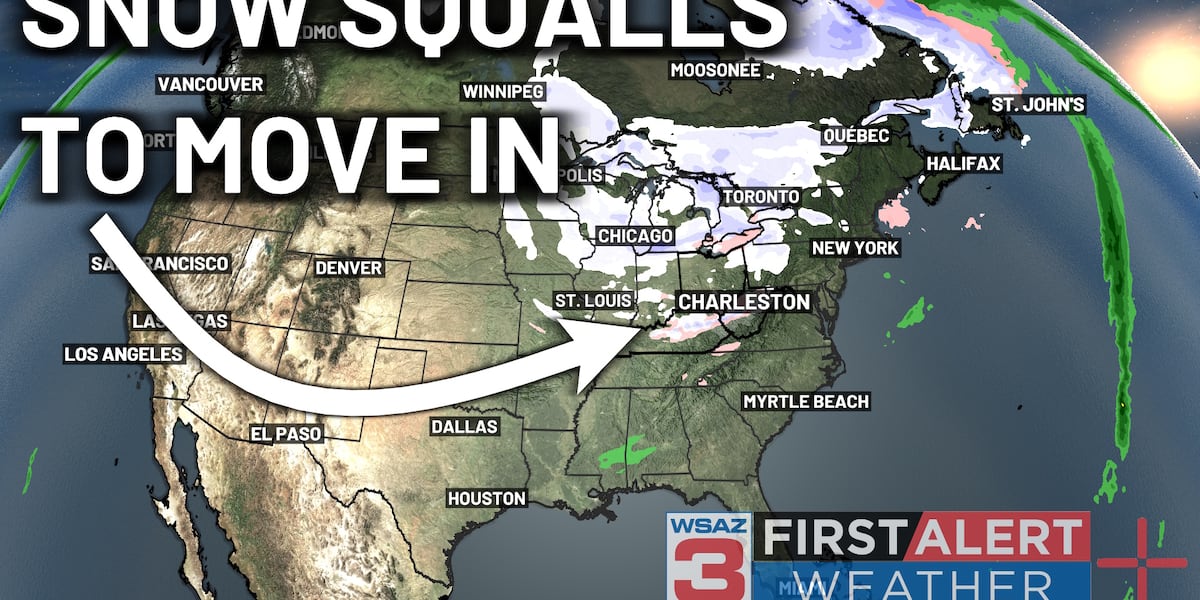
HUNTINGTON, W.Va. (WSAZ) - After sunshine moving in today, a new area of low pressure is set to work in as we head into the day tomorrow. This low will initially warm up, as temperatures will be set to rise into the 50s and 60s. However, after a cold front crosses the region by mid-week, expect a plummet in temperatures. Highs should only reach into the 30s and 20s by Thursday, with a burst of snow expected to work into the area Thursday morning. A First Alert Weather Day is in place for this reason.Meanwhile, as we head into Friday, calmer conditions are to be expected over the region. This will be short-lived though as another cold front works through on Saturday, pushing in more snow squalls into the area. These squalls will drop visibility, slicken up the roads, and cause some travel difficulties in the lowlands, with accumulating snow likely in the mountains. This will set the stage for some GREAT skiing this weekend, but (as mentioned earlier) tough travel.Heading into the week next week, cooler conditions look to remain in place, setting the stage for a more winter-like end to January.Our weather team previews some late week snow.(WSAZ)Copyright 2026 WSAZ. All rights reserved.