UK snow forecast shows England and Wales to be hit in days - 16 counties affected
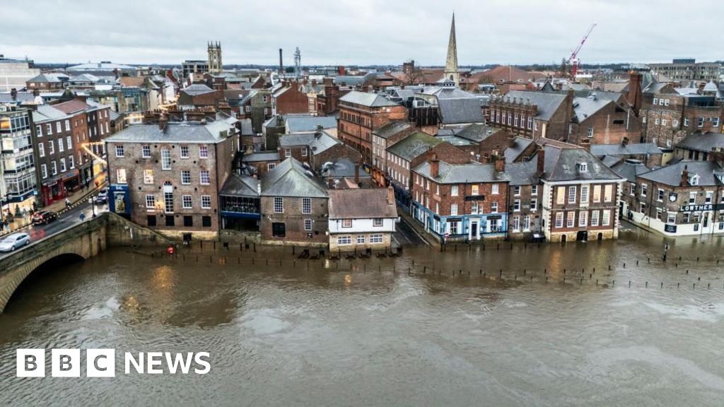
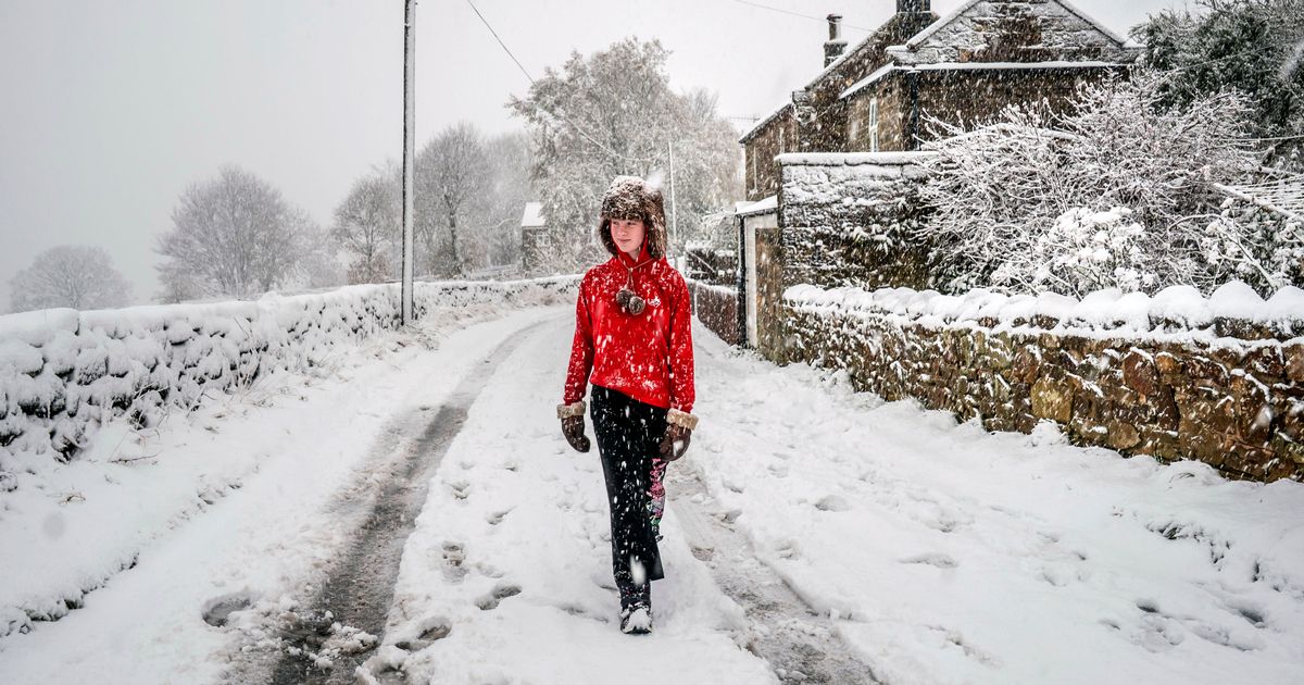
UK weather maps show the country is set for an Arctic blast (Image: PA)Brits are set for temperatures to plummet and up to nine inches of snow to fall with 16 counties in England and Wales hit and Scotland also braced.The country is currently being battered by strong winds and heavy rain from Storm Bram. When this dramatic weather system moves away later in the week it will bring surprisingly mild conditions of up to 16C. But then in the week before Christmas we are forecast to see the mercury drop below zero as an Arctic blast strikes.Maps show low pressure systems swooping into the UK during most of this month bringing unsettled conditions and it is when it meets cold Arctic air by December 19 that we are expected to see widespread snow falling.READ MORE: Reindeer set to be put down as council says they're 'dangerous wild animals'READ MORE: Autistic man who worked at Waitrose unpaid for four years FINALLY gets paid workTemperatures for Friday, December 19, are close to zero up and down the country and could fall to -1C in central Scotland.Maps from WXCharts show snowfall reaching as far south as Devon in southwest England, with flurries expected to cause travel chaos on December 20.There are 16 counties which are predicted to see flurries on December 19 in England and Wales: Yorkshire, Cumbria, Lancashire, Cheshire, Caernarfonshire, Denbighshire, Merionethshire, Radnorshire, Herefordshire, Brecknockshire, Glamorgan, Monmouthshire, Gloucestershire, Wiltshire, Devon, Somerset.A map show snow set to fall on December 19(Image: WX CHARTS)The flurries are not expected to be more than a few centimetres deep but in Scotland on the west coast it is going to be heavier. And on December 20 in the west of Scotland it could get as deep as 23cm or nine inches.The Met Office prediction from December 14-23 highlights the weather systems moving in from the Atlantic this month and that temperatures could drop later in the month which raises the chance of "wintry hazards".Snow is set to fall heaviest in Scotland on December 20(Image: WX CHARTS)The national weather agency states: "A continuation of a similar pattern to that seen through early December is anticipated, especially at first, as frontal systems from the Atlantic spread into and across the UK, interspersed with some temporary drier interludes."These will bring spells of rain, which may be heavy at times leading to the risk of some impacts given how wet it has been lately, especially in the west. In addition, there is also potential for some periods of strong winds at times too."Whilst it will often be mild, later in the period there may be a slight downward trend in temperature, especially across northern parts of the UK, and the chance of drier spells increases. There may also be a slightly higher chance of some wintry hazards at times in the north."