Four died after a military exercise took GPS away over New Mexico
A medevac flight that should have taken half an hour ended on the side of a mountain in New Mexico, killing all four aboard. Jeff Wise reports for Wired that a military GPS jamming exercise 100 miles away is part of the reason. The Beechcraft King Air had left Roswell just before midnight on May 13 to pick up a patient in Ruidoso.
The Air Force's 746th Test Squadron was running its annual NAVFEST at the White Sands Missile Range that night, two weeks of exercises in disrupting GPS. The FAA had warned operators that GPS could be affected up to 400 miles away between May 12 and May 18. Eight minutes after takeoff, Captain Keelan Clark, 30, and First Officer Ali Kawsara, 23, told Albuquerque Center they had lost the signal and asked for a heading, per the NTSB's preliminary report.
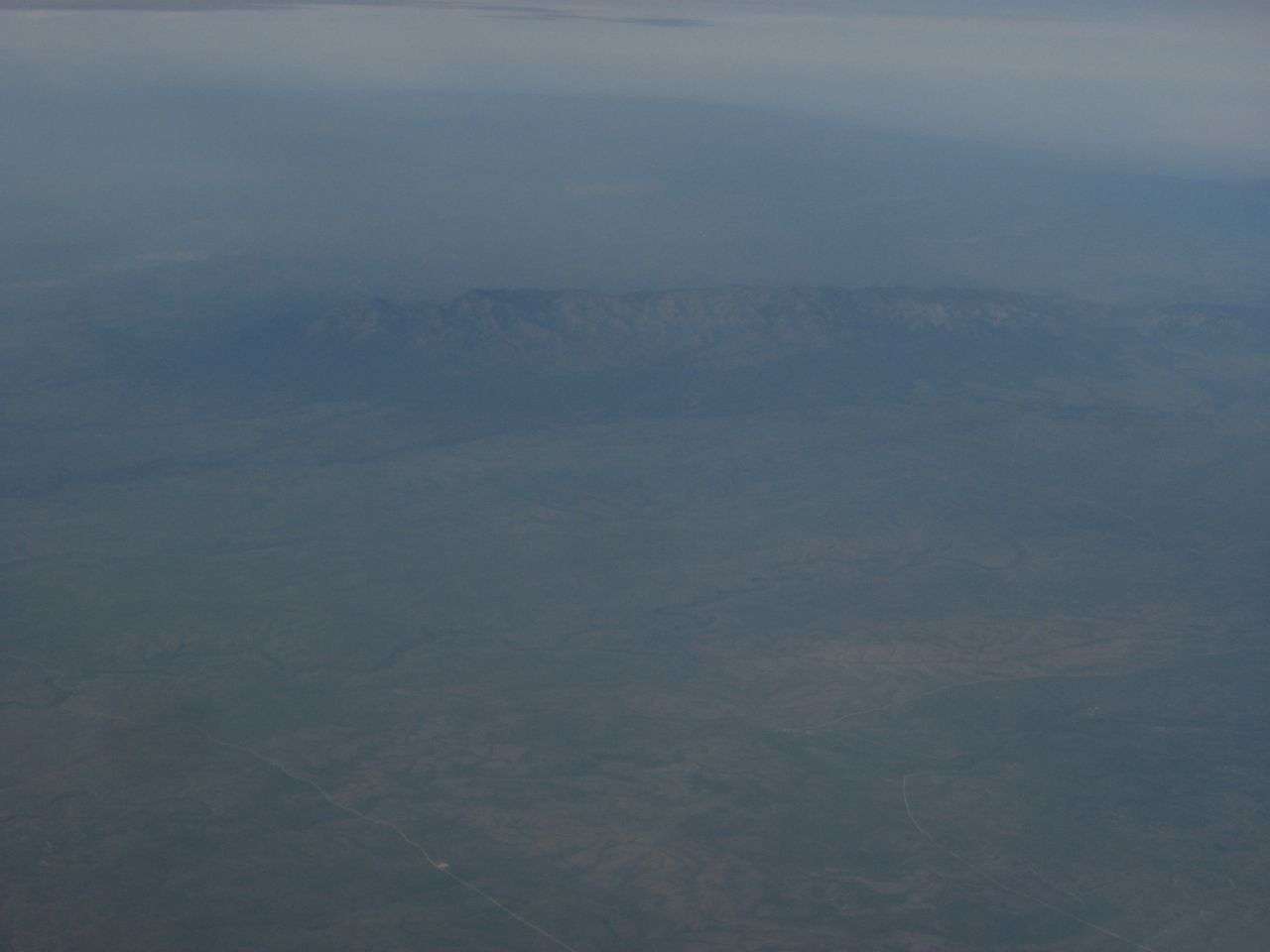
The controller was busy with three other aircraft that had also lost GPS, and while the King Air waited on vectors, it flew 10 miles past the landing pattern. Its crew could see the lights of Ruidoso's airport 31 miles southwest, so they asked to go in visually and were cleared. The 10,000-foot Capitan Mountains lay between them and those lights, invisible under a nearly moonless sky.
As the plane closed in, the ridge swept those lights out of the windshield. "When those lights go out, man, you know you are in big trouble," Juan Browne, an airline pilot who hosts a crash-investigation podcast, told Wired. The crew slowed their descent and climbed slightly, then hit the slope at full speed. It is the first time GPS jamming has contributed to a civilian plane crash in the United States, and the military appears to have posted notices for at least 10 such exercises in the past year.
Previously:
• A satellite has been jamming GPS over Europe
• Sand thieves believed to be behind epidemic of Chinese GPS jamming