


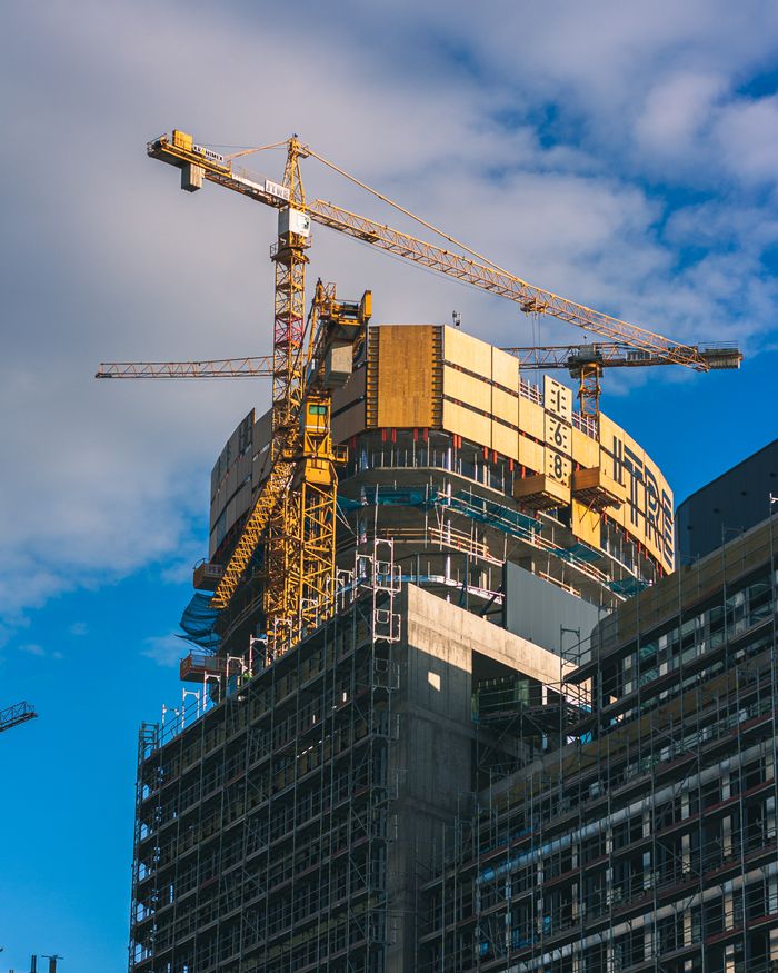
The modern architecture, engineering, and construction landscape is driven by innovation, clarity, and precision. When working on existing structures, historic building restorations, or complex industrial expansions, having an accurate representation of physical real-world conditions is essential. Utilizing professional Scan to BIM Conversion Services allows design teams and project managers to convert raw 3D point cloud data into detailed, parametric 3D models that streamline every phase of project planning and execution.
Whether you are an architect crafting an adaptive reuse concept, a structural engineer designing complex modifications, or a facility owner seeking better operational control, digital spatial modeling gives you complete confidence in your project data. Digital workflows enhance team collaboration, speed up design phases, and provide a single source of truth for everyone involved.
What Is Scan to BIM Technology?
Scan to BIM is an advanced digital methodology that connects physical site conditions with intelligent 3D building models. The workflow begins with high-precision 3D laser scanners or mobile LiDAR systems capturing millions of individual spatial measurements across an existing structure. This dense collection of measurement points is called a point cloud.
Once the scanning phase is complete, specialized software processes and registers the point cloud data. Skilled technical modelers then import this spatial information into building information modeling platforms to generate intelligent elements. Instead of working with outdated paper blueprints or simple 2D line drawings, project teams gain access to a dynamic 3D environment that accurately reflects real-world dimensions, structural components, and mechanical systems.
Essential Stages of the Conversion Workflow
-
High-Precision Laser Scanning: Advanced 3D scanners capture accurate surface geometry, structural layouts, and equipment locations throughout the site.
-
Point Cloud Registration: Specialized software cleans, registers, and aligns raw scan files into a unified global coordinate system.
-
Parametric 3D Modeling: Experts load the registered point cloud into authoring platforms like Autodesk Revit to build accurate walls, floors, structural frames, and MEP systems.
-
Quality Verification and Audit: The completed 3D model is overlaid directly against the original point cloud data to confirm spatial fidelity and dimensional accuracy.
Key Benefits of Digitizing Existing Structures
Working with existing physical assets offers tremendous opportunities for modernization, sustainability, and space optimization. Creating a precise digital twin establishes a strong foundation for design excellence and seamless construction management.
By recording real-world site conditions down to the exact millimeter, data-rich modeling offers multiple significant advantages for project teams:
Crystal-Clear Visual Clarity
Digital 3D models give architects, engineers, and building owners an intuitive environment to explore prior to starting physical construction. Visualizing spatial layouts in full three dimensions helps design teams make smart, well-informed choices early in the planning process.
Seamless Multi-Discipline Collaboration
Architects, structural engineers, mechanical specialists, and general contractors can all access and interact within the same shared digital model. This synchronized dataset ensures that every trade stays aligned throughout design revisions and construction scheduling.
Proactive Pre-Construction Spatial Alignment
By performing spatial coordination checks directly inside the digital model, teams can easily verify how new AC ducts, piping runs, or structural additions align with existing building frameworks. Resolving spatial arrangements digitally ensures smooth, uninterrupted execution when construction starts on site.
Diverse Industry Applications
Intelligent digital building models deliver measurable value across a wide array of commercial, institutional, and industrial projects.
Commercial Renovations and Space Optimization
When updating commercial real estate, architects require reliable spatial data to plan open layouts, modern interiors, and energy-efficient building shells. Digital models allow a seamless integration between original structural elements and new architectural concepts.
Historic Architectural Preservation
Historic landmarks require gentle, non-contact measurement techniques to protect delicate materials. High-definition 3D laser scanning captures intricate architectural details, decorative facades, and historic masonry without touching or risking damage to fragile surfaces.
Long-Term Facility and Operations Management
Beyond construction, digital models serve as dynamic visual databases for property operations teams. Equipment details, pipe routes, and structural layouts can be connected directly to facility management software, making routine maintenance, repairs, and asset tracking effortless.
Complex Industrial Infrastructure
Manufacturing facilities and industrial processing plants feature dense arrangements of piping, equipment, and structural frames. Transforming 3D laser scans into structured parametric models gives plant managers complete clarity when planning machinery upgrades or factory floor expansions.
Understanding Levels of Detail (LOD) in 3D Modeling
Digital models are customized to meet the specific requirements of each project stage. The industry categorizes modeling depth using standardized Levels of Detail (LOD), ranging from basic conceptual shapes to complete fabrication models.
| Level of Detail | Technical Description | Primary Application |
| LOD 100 | Conceptual spatial volumes showing massing and location. | Early feasibility studies and general site planning. |
| LOD 200 | Generic geometric elements with approximate size and location. | Schematic design and broad spatial coordination. |
| LOD 300 | Precise structural geometry, accurate dimensions, and exact positioning. | Detailed design documentation and trade alignment. |
| LOD 350 | Advanced geometry including connection details and structural supports. | Prefabrication planning and spatial resolution. |
| LOD 400 | Fully detailed assemblies with complete fabrication specifics. | Direct off-site manufacturing and assembly guidance. |
Selecting the ideal LOD ensures your digital model contains the exact depth of information required for your project goals while keeping timelines fast and efficient.
Key Features of a High-Quality Digital Model
An effective digital model is much more than a collection of 3D shapes—it functions as an organized, search-capable database of intelligent components.
-
Parametric Building Objects: Smart elements such as walls, windows, doors, and pipes carry real-world physical properties, dimensions, and material information.
-
Structured Discipline Layering: Architectural, structural, and mechanical elements are neatly organized into dedicated worksets for effortless multi-user access.
-
Embedded Metadata: Building components include valuable operational details, such as manufacturer data, model numbers, service schedules, and material specs.
-
Clean Geometry: Clean object modeling ensures fast software performance, smooth navigation, and easy file sharing among project team members.
Best Practices for Successful Digitization Projects
To achieve the best possible results from your digital modeling investment, consider incorporating these proven industry strategies:
Define Project Scope Early
Before beginning laser scanning or modeling tasks, clearly outline your core goals. Deciding whether you require simple floor plans, full mechanical routing, or detailed structural views helps set the appropriate LOD and project boundary.
Partner with Experienced Industry Experts
Converting complex point cloud data into clean, parametric 3D models takes specialized skill and software mastery. Partnering with a skilled BIM modeling company grants your team direct access to trained specialists, rigorous quality checks, and cutting-edge digital platforms.
Maintain Consistent Modeling Standards
Establish uniform naming conventions, standard measurement units, and organized file structures from day one. Standardized guidelines ensure smooth collaboration across diverse teams without file conflicts or data alignment issues.
Frequently Asked Questions
What equipment is used to gather point cloud data on site?
High-precision terrestrial 3D laser scanners, mobile mapping systems, handheld LiDAR devices, and camera-equipped drones are routinely used to capture complete spatial datasets across building environments.
What is the main difference between a point cloud and a finished 3D BIM model?
A point cloud is an unorganized collection of millions of raw 3D measurement dots showing physical surfaces. A 3D BIM model transforms those raw dots into structured, editable, and smart parametric building components like walls, windows, and pipes.
How do digital models support facility management after construction?
Data-filled 3D models act as rich digital assets for facility managers. They help track physical asset locations, support routine maintenance scheduling, and simplify future spatial reconfigurations.
Which software packages are standard for converting scan data into 3D models?
Point cloud processing and file registration are typically completed using tools like Autodesk ReCap or Leica Cyclone, while 3D building models are crafted using software like Autodesk Revit or Archicad.
Conclusion
Transforming physical building data into intelligent 3D digital assets has revolutionized modern construction, renovation, and property management. By converting laser-scanned point cloud data into structured digital models, project teams achieve incredible accuracy, clear communication channels, and efficient pre-construction planning. Embracing advanced digital workflows builds a reliable foundation for smooth construction execution, precise retrofits, and long-term facility operational success across every phase of a building's lifecycle.
Comments (0)