These Are The Oldest Highways In The U.S. Still Being Used Today
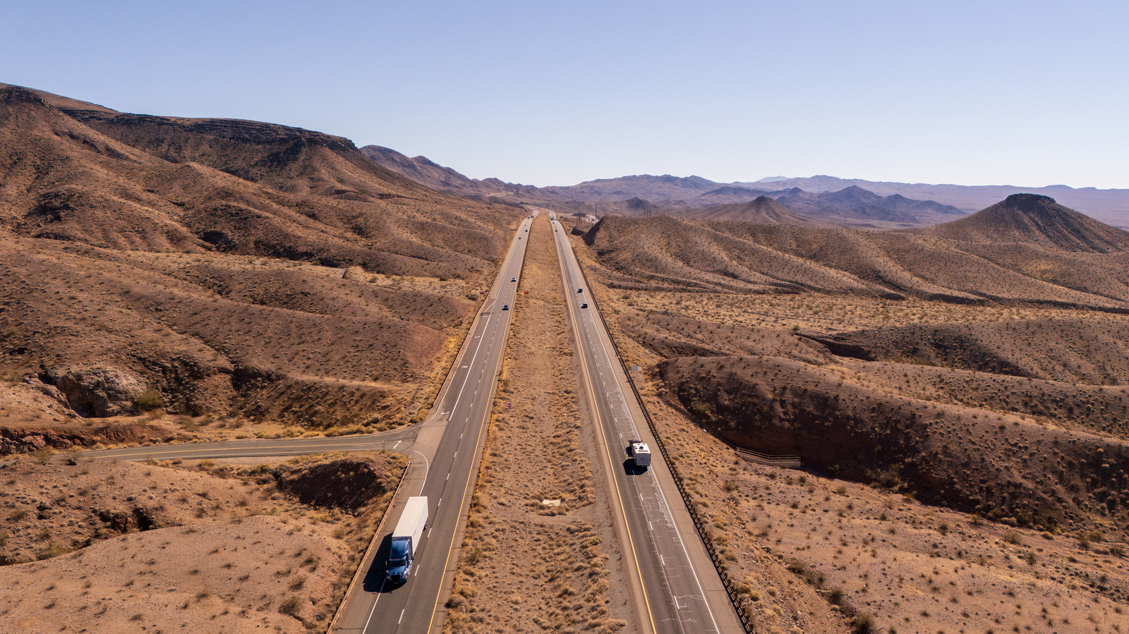
You could be an auto enthusiast who enjoys the blissful experience of driving or just someone who loves spending their time behind the wheel while the white lines flash past. Just about every driver knows that feeling of being on the open highway — that moment when the world narrows to the road ahead and the journey itself becomes the place you want to be. And it's not just a question of romanticizing old school driving. As it turns out, young people actually love driving just as much as older generations. The U.S. was practically built on that feeling. From the first unpaved wagon trails to the smooth asphalt of modern expressways, our highways are more than just infrastructure. They're an inheritance of freedom.
With more than 46,000 miles of asphalt arteries, the U.S. Interstate Highway System is one of the largest highway networks on Earth. It literally moves the economy by linking cities, small towns, and coastlines, while also doubling as a national defense asset. Before its creation, American roads were a patchwork of rough, disconnected routes. That changed in 1956, when President Dwight D. Eisenhower signed the Federal-Aid Highway Act, inspired by his grueling 1919 cross-country convoy and having seen the efficiency of Germany's Autobahn system. The result was a standardized, high-speed highway grid that redefined how America drives, trades, and mobilizes.
And that's what makes the oldest of them special. They were built before America had borders on a map or uniform road signs. Some still cling to their original alignments, winding through the countryside and cities alike. Here are five of the oldest highways in the U.S. that are still helping people chase the American Dream.
The Boston Post Road -- U.S. Route 1
The Boston Post Road returns here because it's not just one of the oldest roads in the U.S., it's America's first highway, the foundation for everything that followed. The Boston Post Road was America's first real mail route, a colonial network that tied Boston to New York City in 1673. Built atop Native American trails that predated European settlement, it became the backbone of early communication and commerce. By the 1700s, post riders carried letters, including the Boston News-Letter, the nation's first newspaper, along its rutted paths. In 1753, Benjamin Franklin, then Deputy Postmaster, traversed the road himself, installing mile markers to standardize postal rates. By 1783, it hosted America's first long-distance stagecoach service, transforming from a humble courier trail into a full-fledged highway that was faster, safer, and vital to a growing country.
Today, the bones of that 17th-century route still live beneath the modern U.S. highway grid. When America began numbering its roads in the 1920s, two major alignments of the Boston Post Road were reborn as U.S. Route 1 and U.S. Route 20, while other stretches survive as U.S. Routes 5, 16, and 44. The Upper, Lower, and Middle Post Roads that were once colonial dirt tracks have now become some of New England's busiest arteries, carrying commuters, cargo, and weekend road-trippers along the same path that once carried mail by horseback.
The National Road -- U.S. Route 40
If you want to go back to the beginning of America's love affair with highways, you have to start with the National Road –- the country's first federal highway project. Construction began back in 1811 in Cumberland, Maryland, and by the mid 1800s, the road stretched all the way to Vandalia, Illinois. People used it as a path to the frontier out West. Wagon trains and stagecoaches traveled it, as did some of the very first car owners, and they all rattled out West along its stone and dirt surfaces.
The National Road went by various names over the years, including the Cumberland Road, the National Pike, and more. As the western frontier started growing, it became the key crossroads for all commerce and settlement in the area. Shops and taverns started popping up alongside it and before long, it had earned the nickname "The Main Street of America." By the time 1912 came around, the route had been absorbed into the National Old Trails Road, which pretty much gave it a new lease on life with the automobile boom of the 1920s. As cars started to replace wagons, the feds began putting some serious cash into upgrading the road's rough stone surface with smooth asphalt.
By 1926, what was left of the old National Road had officially been absorbed by U.S. Route 40, a road that started in Atlantic City, New Jersey and stretched all the way to San Francisco, California. Even two hundred years on, it may not be the most expensive highway to drive on, but the National Road is still out there, its old stones serving as a reminder that the country's history moves one mile at a time.
The Lincoln Highway -- U.S. Route 30
Carl G Fisher was a car enthusiast and entrepreneur with a dream. He wanted to see the day when Americans could hit the open road and travel on their own terms. There was a bit of a problem with that vision, though — less than half of his proposed route of 3,000 miles used roads that already existed, so engineers had to create large stretches from scratch. The result included some pretty fancy infrastructure –- 40-foot wide, 10-inch thick slabs of concrete with banked curves and guardrails designed to let cars zip along at a thrilling 35 mph. Thus, the Lincoln Highway was born and stitched together bits of older roads, like the Lancaster Turnpike, Conestoga Road, and the Mormon Trail, to build the first real transcontinental highway engineered from the ground up for cars.
When it opened, the "See America First" slogan became a bit of a rallying cry. Before long, filling stations, motor courts, and roadside diners sprouted up to cater to the new roadtrippers, and suddenly, travel became an adventure in its own right.The Lincoln Highway was finally completed in 1925, the same year that marked the end of the named-road era. Thanks to the new numbered highway system, a good chunk of the old Lincoln Highway turned into U.S. Route 30.
In 1928 , concrete markers with a large "L" were put up nearly every mile along the route. However, not many of those markers survived. Come 2000, Pennsylvania's Lincoln Highway Heritage Corridor revived the spirit by putting up 150 new markers, which still serve as a reminder that this was the place where the great American road trip was born.
The Dixie Highway -- U.S. Route 25, 41 and others
Back in 1915, the Dixie Highway kicked off as this big, tangled network running from Chicago all the way down to Miami. The whole idea was to connect the gritty North with the sun-soaked South. Carl G. Fisher, the same guy who dreamed up the Lincoln Highway, got things rolling, and a wave of new drivers jumped at the chance to swap train rides for the freedom of their own cars. Local governments and civic groups took on the work in their own backyards, so the highway turned into a patchwork — some parts were smooth pavement, while others were just dirt roads tied together under the Dixie Highway name.
The Dixie Highway turned into Florida's main artery for early tourism. Snowbirds flocked south, produce headed north, and towns along the road sprang to life with gas stations, motels, and quirky roadside stops hoping to catch the eyes of passing drivers. By the end of the 1920s, the Dixie Highway faded into the background as the new U.S. highway system took over. Today, U.S. 41, U.S. 25, and U.S. 1, among other others,make up what's left of the Dixie.
Many abandoned highways succumb to modern infrastructure. However, if you drive through Georgia, Tennessee, or Florida, you'll spot pieces of the old road. They're narrow, two-lane stretches that feel like a time warp, full of dust, sunshine, and the unmistakable smell of engines heating up under the Southern sky.
The Pacific Coast Highway -- California State Route 1
California's Pacific Coast Highway or, as most like to call it, PCH, doesn't have centuries of history attached to it, but it's got a spirit that feels endless. The road came together back in 1934, pieced from old coastal routes between Orange and Mendocino Counties, and became the country's most stunning drive. Building it was no small feat. During the Depression, crews blasted through cliffs, snaked through canyons, and built bridges like the Bixby Rainbow Bridge, which still stands proud in Big Sur.
The PCH stretches almost 700 miles, running up the state from south to north and weaving through spots like Los Angeles and San Francisco — it even crosses the Golden Gate Bridge. If you throw in U.S. Route 101, you get a nearly unbroken path along the whole Pacific coastline.
The first part of the highway ran between Ventura and Santa Barbara, where wooden causeways used to lift cars above the swampy lowlands. But the real showstopper is the stretch between Big Sur, Carmel, and San Simeon, where Hearst Castle sits. That 74-mile section took engineers 18 years to carve out, with 33 bridges clinging to cliffs and winding around mountains. Sure, there are landslides and white-knuckle turns, but none of that stops adventurous drivers. Unlike the most congested highways in the country, the PCH is still one of the best road trips you can take in America. It's a reminder that the ride itself can be just as good as wherever you're headed.